©Julie Roux

Walking tours

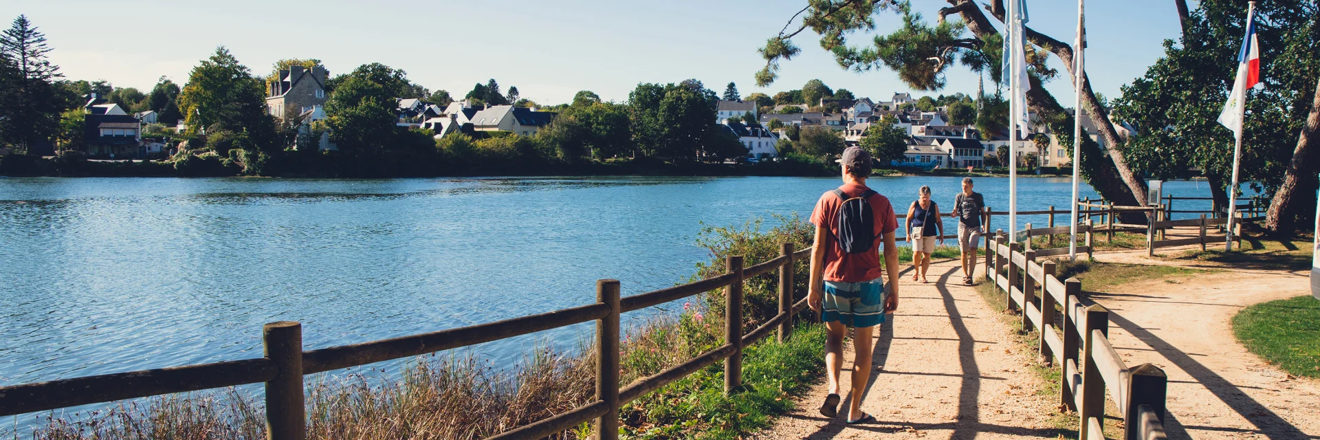
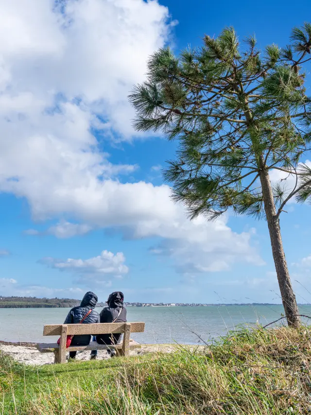
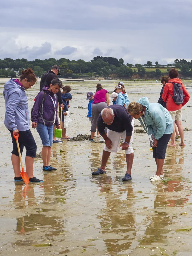
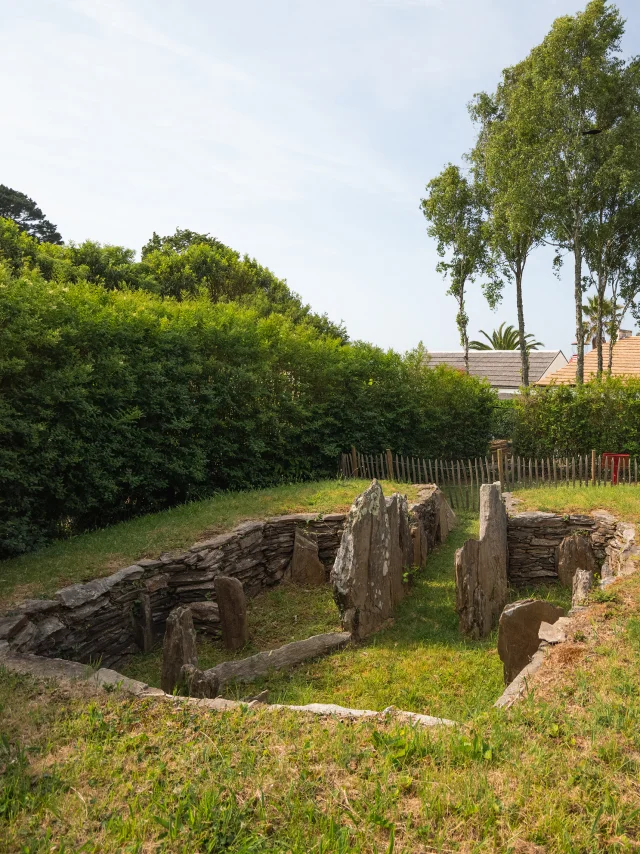
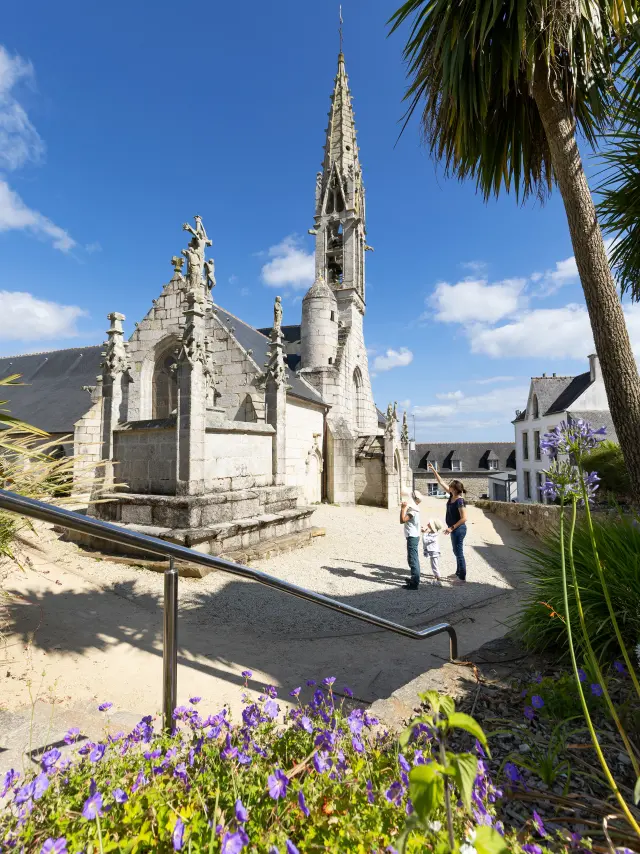
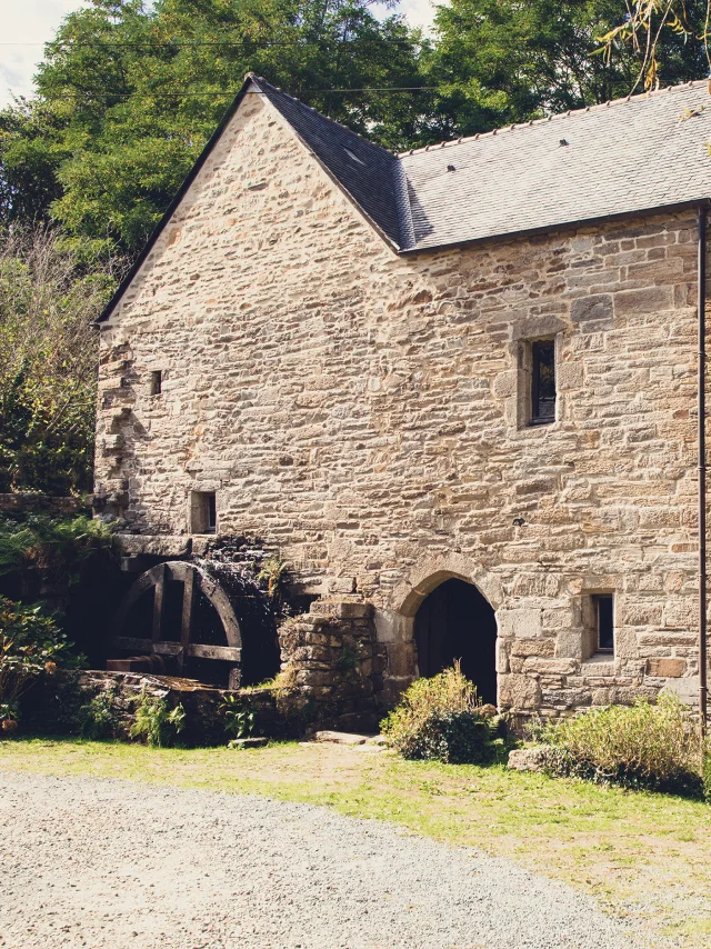
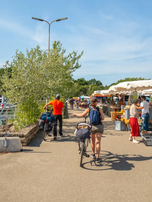
La Forêt-Fouesnant has 30 kilometres of waymarked footpaths, offering walks, hikes and nature outings to discover the commune’s rich heritage.
The footpaths combine the pleasures of nature with the discovery of the area. Magnificent natural landscapes, with exceptional local flora and fauna, help to enhance this Breton paradise!

Maps and routes for walks and hikes
Numerous topoguides and maps are available from the tourist office:

New: “Les Carnets du Promeneur” – walks in the Pays Fouesnantais (Please note: the routes in the “Balades et randonnées en Riviera Bretonne” topoguide no longer exist and are therefore no longer signposted).
The GR34 or coastal path
Topoguide FFRP ” De Concarneau à Quimperlé, terre et mer… à pied ” (From Concarneau to Quimperlé, land and sea… on foot)
Topoguide FFRP ” Des environs de Quimper au Pays Fouesnantais… à pied ” (From the outskirts of Quimper to the Fouesnant area… on foot)
1:25,000 IGN map
Nature outings
Nature outing at high tide: understand the sea to fish better. Book at the Tourist Office.
The GR34 or customs trail
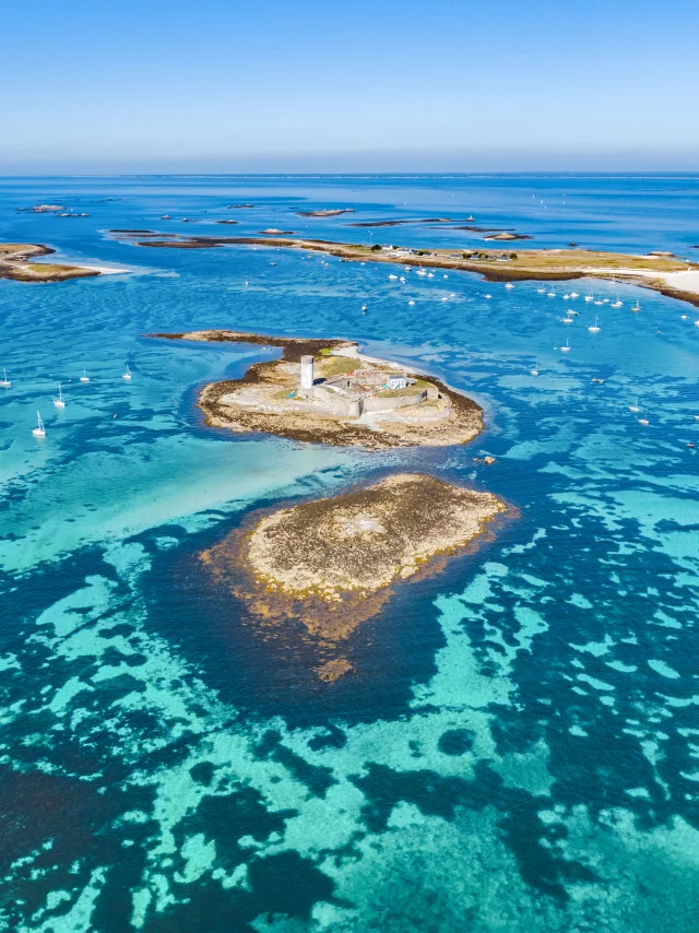
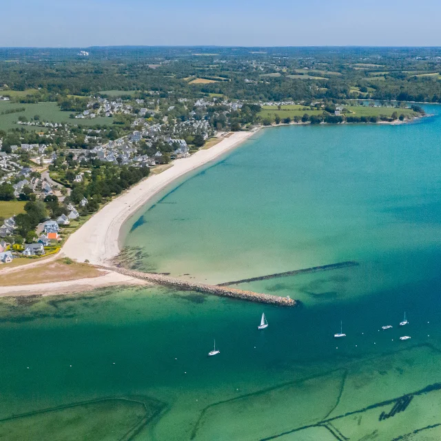
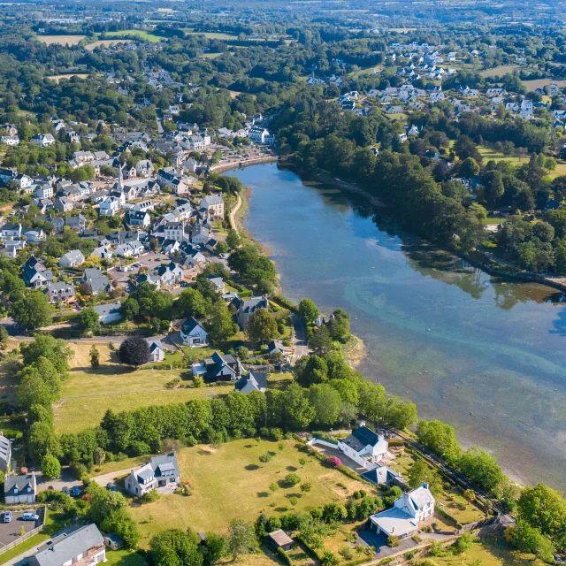
The GR34 is the Breton coastal path. Here are the distances:

Place de la Baie, La Forêt-Fouesnant -> walled town, Concarneau: 13 km
Place de la Baie, La Forêt-Fouesnant -> Cale de Beg Meil, Fouesnant: 8.5km
Place de la Baie, La Forêt-Fouesnant -> Vieux Port, Bénodet: 27 km
You can find the distances of the GR34 for the Pays Fouesnantais area on the Breton Riviera map.

26  results
The largest choice to prepare your stay
List
Map